

Understanding Coastal Dynamics: The Science of the Tides
Tides are the rhythmic rising and falling of the ocean surface, driven primarily by the gravitational forces of the moon and the sun. As the Earth rotates daily, these celestial bodies pull at the oceans, creating tidal bulges. While this cycle is universal, its local expression varies based on shoreline shape, seafloor topography, and geography. The NOAA National Ocean Service provides resources explaining how these variables shape unique tidal patterns. Some regions experience semi-diurnal tides, featuring two nearly equal high and low tides daily. Other areas see diurnal tides with one cycle per day, or mixed tides that produce unequal water levels.
Understanding these patterns helps us recognize that the beach is an ever-shifting interface between land and sea. Beyond daily cycles, monthly astronomical events influence tide height. When the sun, moon, and Earth align during a full or new moon, gravitational forces combine to create spring tides, bringing extreme high and low water levels. When the moon is at a right angle to the earth-sun line during the first and third quarters, neap tides occur, resulting in less dramatic changes. By monitoring these cycles, coastal planners and outdoor enthusiasts can anticipate how much beach will be accessible, preventing disruptions and protecting vulnerable coastal zones.
Why Tide Awareness Matters for Conservation
Visiting the coast carries ecological responsibility. When we step onto the shore, we enter a delicate habitat where land-dwelling and marine species coexist in a narrow, high-energy zone. Unintentional foot traffic and poor activity timing can cause significant harm to these ecosystems. By aligning our visits with natural tidal movements, we reduce our environmental footprint. Understanding when water levels rise and fall allows us to choose sustainable pathways, respect wildlife feeding cycles, and avoid damaging fragile structures. To learn more about stewardship, you can visit the TK Earth homepage, where we offer resources to help travelers live in harmony with the planet.
Protecting Intertidal Zone Ecosystems
The intertidal zone is the strip of land exposed to air at low tide and submerged at high tide. It is home to a resilient yet fragile community of organisms, including sea anemones, limpets, barnacles, sea stars, and hermit crabs. During low tide, these creatures cling to wet rocks and survive in shallow pools. When visitors explore these areas, they must exercise care. Stepping on colonized rocks can crush shells and dislodge organisms from anchor points.
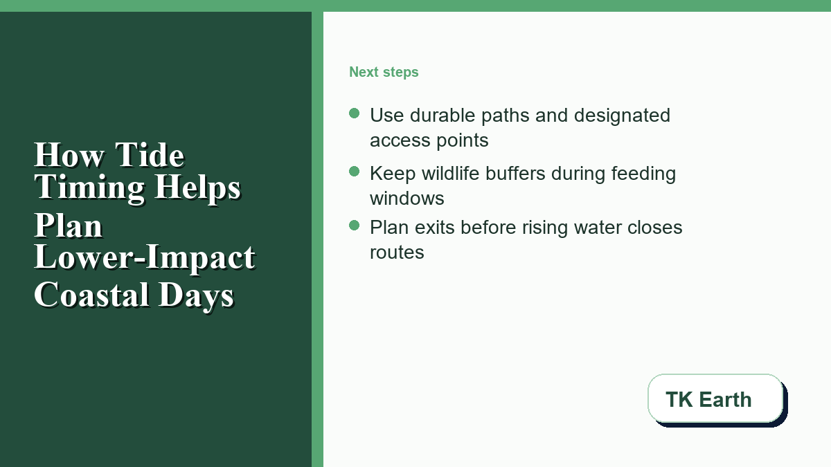
The Leave No Trace organization teaches that preserving natural spaces starts with traveling on durable surfaces, which along the coast means sticking to sandy paths or bare, uncolonized rock. Disturbing tide pools disrupts these micro-habitats. Turning over rocks exposes sensitive organisms to heat and predators, causing irreparable harm. To ensure these ecosystems remain healthy, visitors should observe tide pools from a distance, keep hands dry, and leave all marine life in place.
Mitigating Shoreline Erosion
Shoreline erosion is a major concern for coastal communities, and human foot traffic can accelerate this process. When the tide rises, the width of the dry beach decreases, pushing walkers closer to sand dunes and vegetation. Walking on these dunes is highly destructive. Dune plants, such as sea oats and beach grasses, have root networks that bind sand together, protecting the coast from wind and wave erosion.
When foot traffic destroys this vegetation, dunes lose structural integrity, leading to rapid erosion. The Environmental Protection Agency highlights that coastal wetlands and dune systems serve as critical defenses against storm surges. By planning walks during low tide, visitors can utilize the wide, compacted wet sand near the water’s edge, which is a durable surface. This shift in timing prevents foot traffic from spilling into fragile dunes, preserving coastal defenses.
Practical Strategies for Low-Impact Shoreline Days
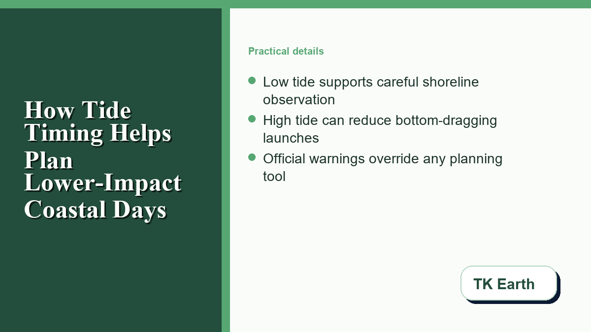
Developing a low-impact coastal routine involves mapping activities to the tidal cycle. This ensures that you interact with the shore in a non-disruptive manner. Low tide is ideal for land-based exploration, such as beachcombing, hiking, and observing shorebirds. At low tide, birds congregate on exposed mudflats to feed, making it an excellent time for quiet observation. High tide is better suited for water-based activities like kayaking and paddleboarding. Launching a kayak at high tide ensures sufficient water depth to float over sensitive seagrass beds without dragging the hull. The table below outlines how to coordinate activities with tidal phases to minimize environmental disturbance:
| Tidal Phase | Suitable Activities | Environmental Considerations | Low-Impact Best Practices |
|---|---|---|---|
| Low Tide | Tide pooling, beachcombing, coastal hiking, shorebird watching. | Exposure of fragile intertidal organisms; risk of stepping on tide pool species. | Walk only on wet sand or bare rock; avoid stepping on green algae or barnacles; do not disturb feeding shorebirds. |
| High Tide | Kayaking, paddleboarding, swimming, pier fishing. | Reduced beach width forces foot traffic onto dunes; shallow water can lead to bottom dragging. | Stay off dunes and vegetation; launch non-motorized watercraft from designated ramps; maintain deep water clearances. |
By tailoring your schedule to the water’s natural movement, you reduce pressure on the coastal environment. For more practical advice on minimizing your ecological impact, check out the TK Earth Blog, where we share tips on sustainable living and low-impact travel.
Safety First: Interpreting Local Environmental Indicators
While conservation is a major focus of low-impact travel, personal safety must always come first. The ocean is an incredibly powerful force, and coastal environments can change rapidly. Tide tables are predictions, and real-world conditions are heavily influenced by weather patterns, barometric pressure, and onshore winds. Visitors should always consult official local advisories and posted rules before visiting any shoreline. The National Weather Service offers real-time updates on marine hazards, weather forecasts, and surf conditions that are vital for safe planning. Safe coastal exploration requires maintaining a high level of situational awareness, watching for changing conditions, and respecting warning flags and lifeguard instructions.
Navigating Tidal Cutoffs and Rip Currents
A primary hazard along rocky shores is the tidal cutoff. As water rises, low-lying points and passages become submerged, trapping visitors against cliffs or on isolated rock shelves. Escaping these situations is extremely dangerous and often requires emergency rescue services. To avoid this, research the shoreline layout and plan to exit the area long before high tide.
Another safety consideration is rip currents. These fast-moving channels of water pull swimmers away from the shore and often strengthen during falling tides as water rushes back out. To verify predicted water levels and plan safe exit times, consult the NOAA Tides and Currents portal. Remember that tide charts serve only as a general guide, and you must always defer to local lifeguards and posted warnings.
Incorporating Modern Planning Tools for Smarter Coastal Trips
In our modern era, technology offers powerful ways to plan outdoor recreation with precision and environmental sensitivity. Today’s travelers can access tools that combine multiple data streams to help them make informed choices. Instead of relying on a single, isolated tide chart, modern platforms integrate variables like wind speed, wave height, river discharge, and lunar phases. These tools are especially valuable for individuals who need to understand complex water movements, such as anglers and coastal planners.
By using these resources, users can analyze how tide stages interact with weather conditions to identify timeframes that are safe and ecologically appropriate. For example, those tracking optimal marine windows can utilize digital dashboards that aggregate different data streams. These systems help anglers and coastal planners interpret tide stage alongside weather, marine, river, and moon context for saved-spot bite windows. Tools that highlight these tide chart signals make it easier to visualize when water levels change relative to weather patterns, though travelers must always verify conditions with local rangers and official NOAA safety bulletins. Integrating these data points allows visitors to schedule their trips during periods when their presence causes the least disruption, distributing activity more evenly.
Fostering a Sustainable Coastal Stewardship Mindset
Caring for our coasts requires a shift in how we view these environments. The shoreline is not a static playground, but a dynamic, living system reshaped by natural forces. Every visit leaves a footprint. By taking the time to understand tide cycles, we make conscious decisions that protect wildlife and preserve habitats. This proactive approach transforms us from passive tourists into active stewards. As we learn to align our schedules with the natural rhythm of the tides, we build a deeper connection to the ocean and a greater appreciation for the delicate ecosystems that define our coastlines.

0 Comments